

GPS is integrated into military wearable devices through a combination of miniaturised GNSS receiver modules, low-power embedded hardware design, and ruggedised electronics packaging that can withstand the physical demands of body-worn use in the field. The integration goes well beyond simply attaching a GPS chip — it requires careful power management, antenna placement, data handling, and in many cases, fusion with other sensors to maintain accuracy when satellite signals are unavailable. This article works through the key technical questions: from the types of GPS technology used, to how data reaches command, to how haptic feedback is being used to deliver navigation silently.
What types of GPS technology are used in military wearables?
Military wearable devices typically use multi-constellation GNSS receivers rather than GPS alone. These receivers pull signals from multiple satellite systems simultaneously — including GPS (US), GLONASS (Russia), Galileo (EU), and BeiDou (China) — to improve positional accuracy, redundancy, and resistance to jamming or signal loss in challenging terrain.
Standard civilian GPS provides accuracy in the range of a few metres. Military applications often demand greater precision, and this is achieved through several approaches:
- Differential GPS (DGPS): Uses a fixed reference station to correct positional errors in real time, improving accuracy to sub-metre levels.
- Precise Positioning Service (PPS): A military-grade GPS signal encrypted and reserved for authorised users, offering greater accuracy and anti-spoofing protection than the civilian Standard Positioning Service.
- RTK (Real-Time Kinematic) GPS: Used in applications requiring centimetre-level accuracy, though the hardware and infrastructure demands make it less common in soldier-worn devices.
- Anti-jam GPS receivers: Designed to reject deliberate interference signals — a critical requirement in contested environments where GPS jamming is a realistic threat.
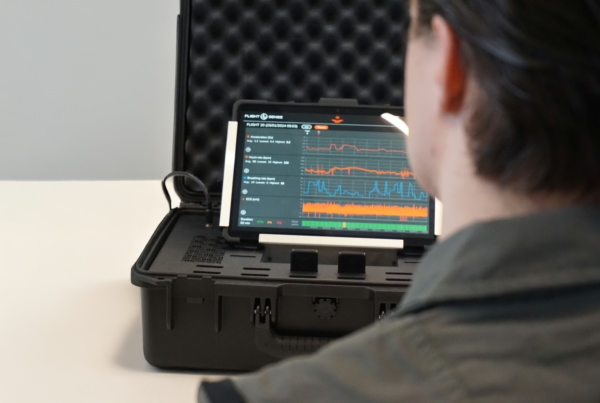
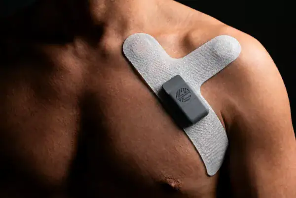
In practice, the receiver chosen for a military wearable depends heavily on the operational context. A navigation belt worn by an infantry soldier has different requirements than a wrist-worn device used in logistics or a biosensor suit monitoring a pilot. The hardware selection process must account for accuracy requirements, power budget, size constraints, and the threat environment the device will operate in.
How does GPS hardware get embedded into wearable form factors?
Embedding GPS hardware into a wearable device is a significant engineering challenge. The core components — a GNSS receiver module, antenna, power supply circuitry, and data interface — must be miniaturised, protected against physical stress, and integrated without compromising the wearability or comfort of the device.
Antenna placement and signal integrity
The GPS antenna is one of the most difficult elements to integrate into a body-worn device. Antennas require a clear line of sight to the sky, but on a wearable they are often partially obscured by the wearer’s body, clothing layers, or the device housing itself. Patch antennas are commonly used because they are flat and can be embedded into rigid or semi-rigid substrates. Placement on the shoulder, upper chest, or the back of the device housing typically yields the best signal acquisition. Engineers must also account for the detuning effect of the human body on antenna performance — the body absorbs RF energy, and this must be compensated for in the antenna design.
PCB design and miniaturisation
The electronics supporting GPS in a wearable must be designed for minimal footprint and low power draw. Custom PCB layouts allow the GNSS module, microcontroller, power management IC, and communication interfaces to be consolidated onto a single board small enough to fit within a belt, vest, or wrist-worn housing. Flexible PCBs are increasingly used in body-worn applications where the device must conform to body contours or withstand repeated bending. Power management is particularly critical — GPS receivers are among the most power-hungry components in a wearable, and without careful firmware-level optimisation, they can drain a battery in hours rather than days.
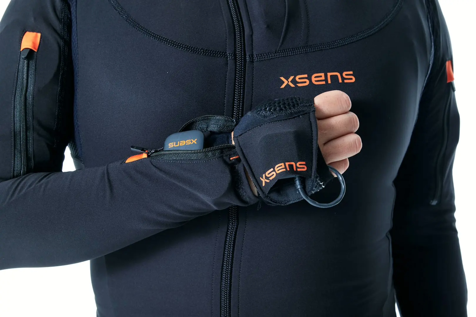
Ruggedisation is a further requirement that shapes hardware design. Military wearables must meet standards for shock resistance, water and dust ingress protection, and operation across wide temperature ranges. This affects enclosure design, connector selection, and the choice of components rated for extended environmental exposure.
How does GPS data get transmitted from a soldier’s wearable to command?
GPS position data from a soldier’s wearable is transmitted to command through secure wireless communication protocols, most commonly integrated within existing tactical radio networks or dedicated soldier system architectures. The wearable device acts as a data node within a broader networked system rather than a standalone tracker.
Several communication approaches are used depending on the system architecture:
- Tactical radio integration: The wearable connects to a soldier’s personal radio via a wired or short-range wireless link. The radio then transmits position data over encrypted tactical networks to command and control systems.
- Bluetooth Low Energy (BLE) or ANT+: Used for short-range transmission between the wearable and a smartphone, ruggedised tablet, or radio carried by the soldier. BLE is power-efficient and well-suited to continuous low-bandwidth data like position updates.
- Mesh networking: In some soldier system architectures, wearables and personal devices form a local mesh network that relays data between soldiers and back to a command node, improving coverage in GPS-degraded or radio-shadowed environments.
- Satellite communication: For remote or isolated operations, position data may be uplinked directly via satellite communication modules, bypassing terrestrial radio infrastructure entirely.
Data security is non-negotiable in military applications. Transmission protocols must include encryption to prevent interception, and the system must be resistant to spoofing — where an adversary feeds false position data into the network. This places significant demands on both the firmware running on the wearable and the wider system architecture it connects to.
What are the main limitations of GPS in military wearable devices?
GPS in military wearables faces four core limitations: signal availability in denied environments, high power consumption, physical antenna constraints on body-worn hardware, and vulnerability to jamming and spoofing. Each of these can degrade or completely compromise positional awareness in the field.
Signal denial is the most operationally significant limitation. GPS signals are weak and easily blocked by buildings, dense vegetation, underground environments, or mountainous terrain. In urban combat or indoor operations, GPS alone is insufficient for reliable positioning.
Jamming and spoofing are active threats in contested environments. Adversaries can broadcast interference signals that overwhelm GPS receivers, or transmit false signals that cause the device to report an incorrect position. Anti-jam receiver technology mitigates but does not eliminate this risk.
Power consumption is a persistent engineering challenge. Continuous GPS acquisition is expensive in terms of battery life, and military wearables are already power-constrained devices. Duty cycling — where the receiver is switched on periodically rather than continuously — reduces power draw but introduces latency into position updates.
Antenna performance on the body degrades signal quality compared to an unobstructed installation. Body shielding, movement, and clothing layers all affect the receiver’s ability to acquire and maintain satellite lock.
For these reasons, GPS in military wearables is almost always combined with inertial navigation systems (INS) using IMU sensors — accelerometers and gyroscopes — that maintain a position estimate when GPS is unavailable. This sensor fusion approach provides continuity of navigation even in GPS-denied conditions, with the GPS signal used to correct accumulated drift in the inertial estimate whenever it becomes available again.
How is haptic feedback combined with GPS in military wearables?
Haptic feedback is combined with GPS in military wearables to deliver navigation instructions silently and without requiring the soldier to look at a screen or listen to audio cues. The GPS system determines position and calculates directional guidance; the haptic system translates that guidance into vibration patterns on the body that the wearer can interpret intuitively.
This combination addresses a fundamental problem in military navigation: traditional methods require the soldier to divert attention — looking down at a map or device — at exactly the moment when situational awareness is most critical. A haptic navigation wearable keeps eyes up, hands free, and ears clear.
The most effective implementations use a belt or vest with multiple vibration actuators positioned around the torso. By activating actuators in different positions and patterns, the system can communicate direction, distance, waypoint arrival, and alerts without a single word or visual cue. The soldier’s body learns to interpret the vibration language quickly — research in this area consistently shows that torso-based haptic navigation is intuitive to learn and robust under stress.
The engineering behind this is more complex than it appears. Actuator selection, placement, and the firmware-level timing of vibration patterns all affect whether the feedback is clear and distinguishable in real conditions — including when the wearer is moving, wearing body armour, or operating in cold temperatures that affect skin sensitivity. The haptic patterns must be designed and tested with real users in realistic conditions, not just optimised in a lab.
Elitac Wearables developed the Mission Navigation Belt for the Royal Netherlands Army specifically to address this challenge. The belt integrates with existing GPS systems and delivers silent, screen-free directional guidance to soldiers in the field — keeping hands, eyes, and ears free for the mission. The first order was delivered to the Royal Netherlands Army in 2020, and the project drew on deep expertise in haptic actuator selection, firmware-level pattern design, and the specific certification requirements of military wearable hardware.
What certifications and standards apply to GPS-enabled military wearables?
GPS-enabled military wearables must meet a combination of military standards, electromagnetic compatibility requirements, and in some cases civilian regulatory frameworks depending on the device’s function and the markets it operates in. There is no single universal certification — the applicable standards depend on the country of use, the operational environment, and whether the device incorporates any medical sensing functionality.
Key standards and frameworks that commonly apply include:
- MIL-STD-810: The US military standard for environmental engineering considerations and laboratory tests, covering shock, vibration, temperature, humidity, and water resistance. Many NATO-aligned programmes use MIL-STD-810 as a baseline even outside the US.
- MIL-STD-461: Covers electromagnetic compatibility (EMC) requirements for military equipment — critical for GPS wearables that must not interfere with tactical radio systems and must resist interference from them.
- STANAG standards: NATO standardisation agreements that govern interoperability between allied systems, relevant when a wearable is designed to integrate with broader soldier system architectures across multiple nations.
- CE marking: Required for products placed on the European market, including electronic devices. Even military procurement programmes often require CE compliance for the underlying electronics.
- ATEX certification: Applies if the device is intended for use in hazardous environments where explosive atmospheres may be present — relevant for some military and industrial safety applications.
- Encryption and communications standards: Devices that transmit position data over military networks must comply with national or alliance-level requirements for encrypted communications, which vary by country and classification level.
Certification must be considered from the earliest stages of hardware design, not retrofitted at the end of development. Choices made during component selection, PCB layout, and firmware architecture all affect whether a device can pass EMC testing, meet environmental standards, or achieve the required communication security approvals. Teams that treat certification as a final checkbox rather than a design constraint routinely encounter expensive redesigns late in development.
How Elitac Wearables helps with GPS military wearable development
Developing a GPS-enabled military wearable is not a single-discipline problem. It requires hardware engineers who understand antenna physics and power management, firmware developers who can optimise GPS duty cycling without sacrificing positional accuracy, textile and mechanical engineers who can package electronics into body-worn form factors that survive real operational use, and specialists who know how to navigate military certification from day one. Most development teams have some of these capabilities — very few have all of them under one roof.
Elitac Wearables provides end-to-end wearable development for exactly this kind of challenge. Working as an extension of a client’s existing team, the capabilities brought to a GPS military wearable project include:
- Embedded hardware design and component selection, including GPS/GNSS receiver integration and power management optimisation
- Firmware development on the proprietary TacOS platform, purpose-built for wearable constraints — including duty-cycling strategies that have extended battery life by up to 50% without hardware redesign
- Haptic system design and integration, from actuator selection through to firmware-level pattern design and real-world user testing
- Electronics-textile integration for body-worn form factors, including flexible PCB approaches and ruggedised enclosure design
- Certification guidance across military standards, CE marking, and ATEX requirements — built into the development process from feasibility check onwards
The Mission Navigation Belt for the Royal Netherlands Army demonstrates what this looks like in practice: a GPS-integrated haptic wearable, developed from concept to first delivery, meeting the technical and certification demands of a defence programme. If you are developing a GPS-enabled military wearable and need a development partner with the depth to take it from proof of concept to a certified, field-ready product, get in touch with the Elitac Wearables team to discuss your project.
Related Articles
- Why is end-user testing critical in smart textile development?
- What materials are used to make military wearables durable?
- How do you ensure your wearable product integrates with existing enterprise systems?
- How do data privacy regulations affect wearable product development?
- How does wearable product development work?